|
|
|
|
|
|
|
|
|
|
|
|
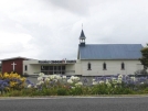
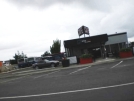
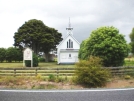
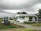
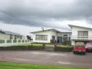
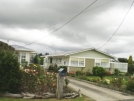
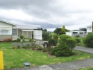
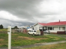
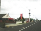
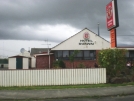
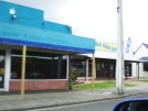
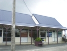
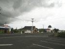
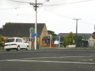
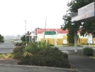
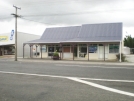
RuawaiNorth Island - New Zealand
New Zealand facts & history in brief
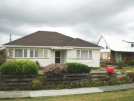
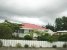
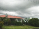
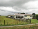
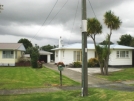
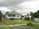
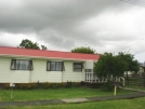
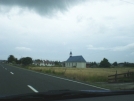
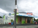
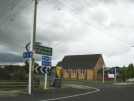
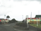
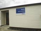
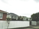
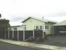
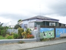
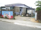
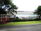
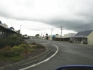
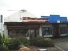
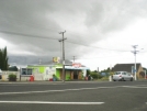
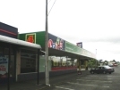
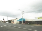
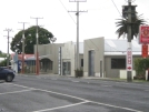
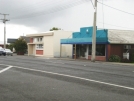
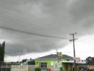
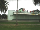
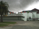
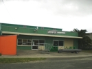
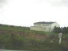
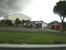
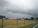
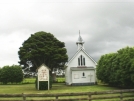
Ruawai 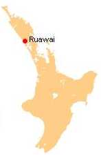 The population was 426 in the 2006 Census, a decrease of 30 from 2001. The name literally translated from Maori means 'two waters' referring to the nearby Northern Wairoa River and Kaipara Harbour. The township primarily serves the outlying farming area which consists mainly of cattle farming and kumara growing. Education Ruawai College is a secondary (years 7-13) school with a roll of 171. Ruawai District High School was established in 1929. Ruawai School is a contributing primary (years 1-6) school with a roll of 128. Both schools are coeducational and have a decile rating of 5.
All text is available under the terms of the GNU Free Documentation License (see Copyrights for details). About Wikipedia Disclaimers
2009
Site Index Back to Top Photos Index Thanks for coming, I hope you
have enjoyed it, will recommend
it to your friends, and will come
back later to see my site developing
and expanding.
|